West End Link
1.1 Overview and Background to the Question of the West End Link (WEL)
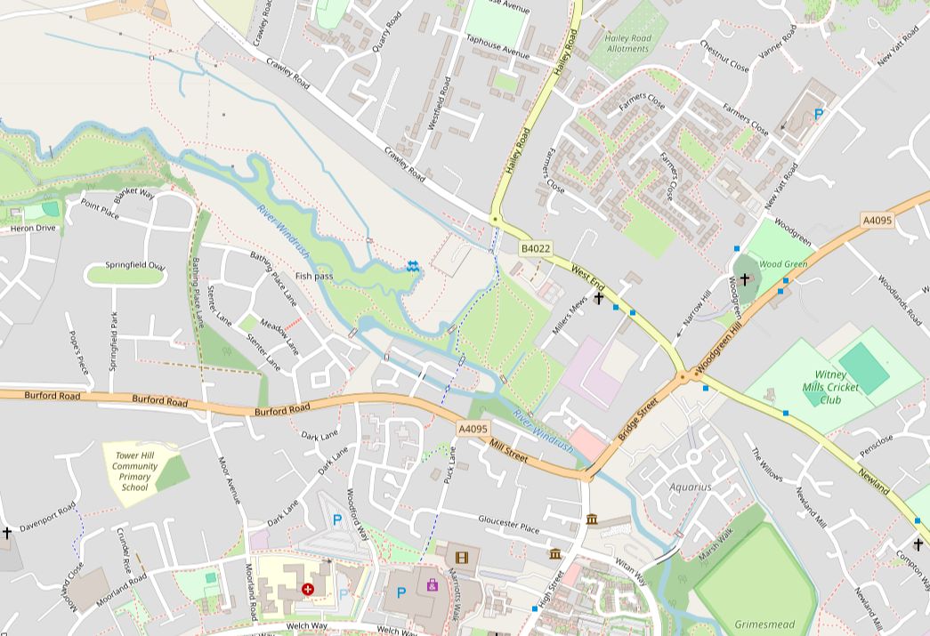
There is only one river crossing for motor vehicles in the parish of Witney; Bridge Street.
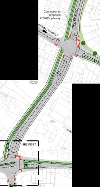
A second crossing has been talked about in policy papers for some years, with the land it would need kept relatively clear and partially in the possession of Oxfordshire County Council already.

This proposed road has been mentioned in West Oxfordshire Local Plan 2031 documents [1], [2], Infrastructure Delivery Plans [3] and alluded to in Oxfordshire County Council Highways documents [4], frequently in association with discussion papers and policies about the North Witney Strategic Development Area and its long-anticipated 1400 new houses.
Policies outline that the expected order of road building should be Downs Road A40 junction, Shores Green and then they state that the West End Link and Northern Distributor road are expected to follow when the North Witney development is built [5], [6].


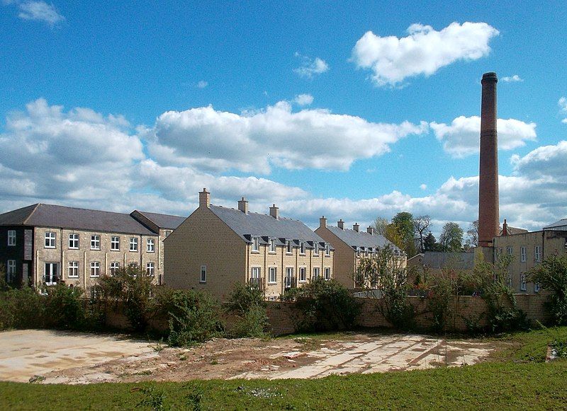
This file is licensed under the Creative Commons Attribution-Share Alike 2.0 Generic license.
This image, a few years old, shows the Jacobs Mill development and the land in the foreground kept clear for the West End Link Road.
